A
lthough ithasalwaysbeen importanttotryandoptimise
explorationdrillingsuccess,recentyearshaveseenaccuratewell
placementbecome increasinglycrucial.Modernexploration is
oftenundertaken inchallenging,high‑riskandcostlyenvironments.This is
particularlytruefordeepwateroperations,whichaverageaUS$1million/d
spreadrate.Riskanduncertaintymustbeproperlyquantifiedandthis
beginswiththeacquisitionand interpretationofhighqualityseismicdata.
Recent improvements inmarineseismicacquisitiontechnology
havedrivenupdataquality.Thishastranslated intohigher‑resolution
imagingofthesubsurfaceformoreaccuratestructuralmodels,and
morereliable inversiontoreveal indicatorsofrockpropertiesfromwhich
staticanddynamicmodelscanbeestablished. Inmarineenvironments,
towed‑streamergeometriesareusuallythemosteconomicallyviable
solutionsforacquisitionof large3Dseismicsurveys.
Broadbandseismicneedsspatialresolution
Conventionaltowed‑streameracquisitionsystemsrecordthetotal
pressurewavefieldusinghydrophones.Streamersandseismic
sourcesaretypicallytowedatshallowdepths,usuallybetween
6and10mbelowtheseasurface.Whilethisenablesrecordingof
thehighfrequenciesneededforresolution, itcompromisesthe
usefulseismicbandwidthbyattenuatingthe lowfrequencies
neededforstratigraphic inversion. Inaddition,shallowtowing
makestherecordeddatamoresusceptibletoenvironmental
Seeing things
CLEARLY
ChrisCunnell,WesternGeco, UK, outlines how true3Dbroadband isometric seismic acquisition andprocessing
technology helps provide new insights into subsurfacegeology and improvedmappingof reservoir changes.
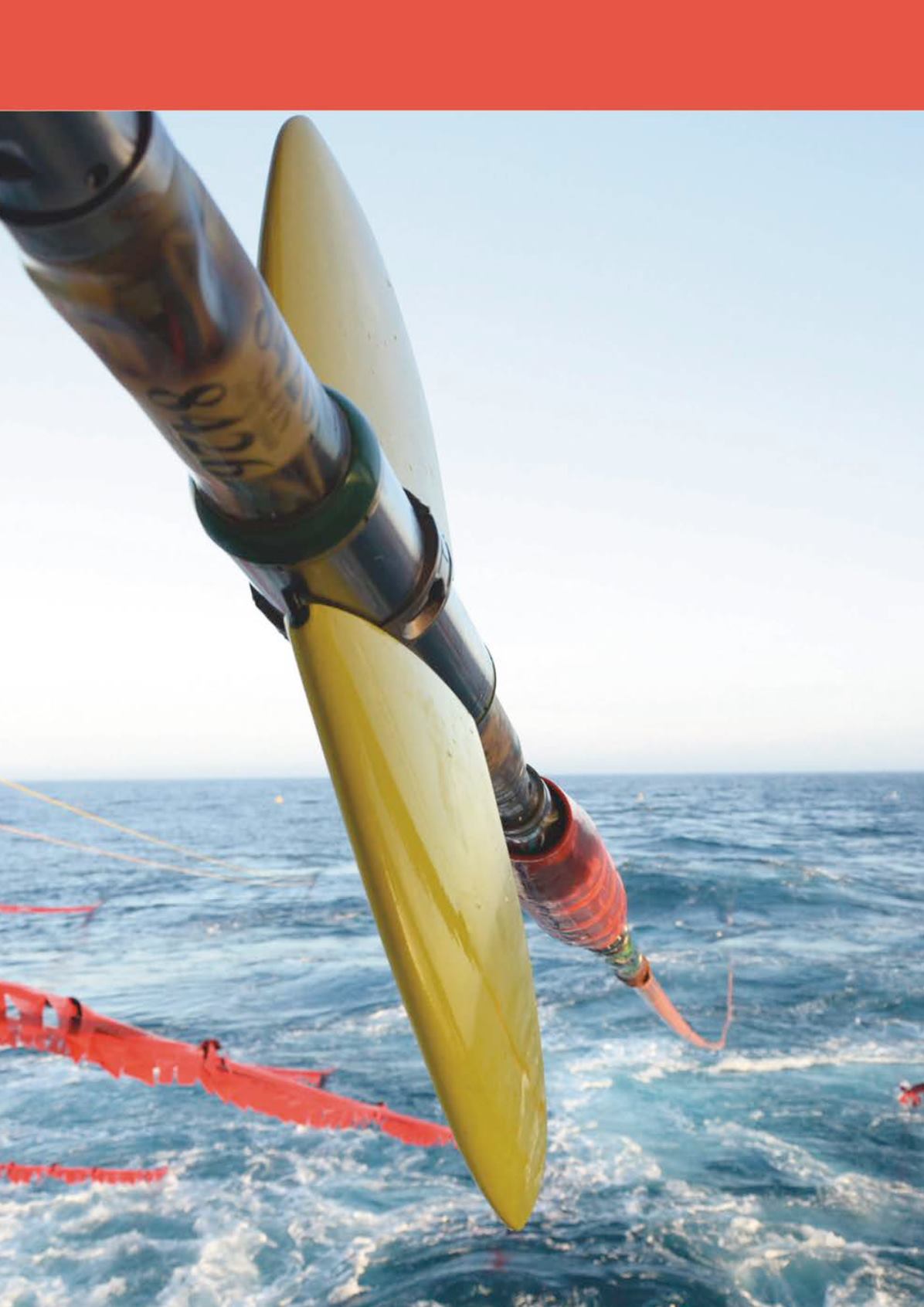
ImagecourtesyofWesternGeco.
|
15


